
Tracing a Goose Creek Street
Berkeley County’s address tools give a repeatable way to work along a Goose Creek street. Begin with the county property search and save the result’s TMS, the tax-map identifier used throughout Berkeley records. A parcel card can connect a physical location to assessed ownership, lot and section information, sale history, and deed or plat references. It cannot establish who occupies every home. The practical goal is to follow the parcel trail carefully, one record at a time.
- Enter the street name in Berkeley County Property Search. Omit the street suffix, then add a street number if results need narrowing.
- Open each relevant property card and record the TMS, site address, owner mailing information, lot or block details, and the listed deed book and page.
- Use the Berkeley GIS Advanced Mapping App to find the parcel polygon and compare nearby parcels, map layers, and aerial context.
- Search the recorded deed reference in the Berkeley County Register of Deeds index. For voter information, the state’s personal check requires a name, county, and date of birth; no anonymous street roster was documented.
- For an older question, use the parcel’s legal description and ask the library or archives about the documented collections. No verified Goose Creek reverse or criss-cross directory run was located.
This sequence keeps the Goose Creek street directory tied to records that can be checked again. It also avoids treating a map label, a mailing address, or a single deed party as proof of an entire household.
Goose Creek Street Search Rules
Berkeley’s assessor gives unusually specific input advice. Street searches use the street name without its type or suffix. The real-property screen also offers street number and street name fields, plus a Contains or Equals choice. Owner searches use the county format LASTNAME FIRSTNAME, with a surname-only first search recommended. These details matter when a by-street search appears empty because the county stores a variant of the road name.
| Berkeley field | Input | Required | Goose Creek street use |
|---|---|---|---|
| Enter TMS | Text | No | Retrieve a known Berkeley parcel directly. |
| Street Number | Text | No | Combine with street name to narrow a result. |
| Street Name | Text | No | Enter the name without its street type or suffix. |
| Match | Control | No | Choose Contains or Equals when testing a street form. |
| Owner Name | Text | No | Use LASTNAME FIRSTNAME; begin with the surname alone. |
| Decal or mobile-home owner | Text | No | Use the separate mobile-home search area when applicable. |
Insider tip: A suffix-free street entry is the county’s own instruction for its property search. Make it the first adjustment before assuming a street has no county record.
Note: The assessor describes its property cards as unofficial reference records, so confirm a material deed or plat detail with the Register of Deeds.
Goose Creek Street Parcel Cards
A Berkeley parcel card separates owner information and mailing address from the physical, or situs, address. It can also show owner-occupied status, jurisdiction, tax and fire districts, acreage or lots, neighborhood, zoning, parent TMS, notes, prior owners, sale information, and deed or plat references. The card’s tax history is stated as limited to ten years. Those fields make the card a strong starting point for a Goose Creek street directory search, while also showing why an owner record is not a household list.
- Parcel
- A defined piece of land tracked by the county. Berkeley’s TMS is the identifier that ties its parcel record to other county material.
- Situs address
- The physical location associated with a parcel. It can differ from the mailing address used for owner correspondence.
- Plat
- A recorded map that can identify a subdivision, lot, block, phase, or boundary relationship.
- Criss-cross directory
- A historical address-arranged directory. No official Goose Creek sequence was found, so it should not be assumed to exist for a date or street.
The distinction between a situs and mailing address becomes vital when a deed, tax notice, or permit does not use the same label. Keep both addresses, the TMS, and the legal description in your notes instead of replacing one with the other.
Goose Creek Street GIS Views
The county’s GIS map searches TMS, owner, address, and street. Selecting a parcel opens ownership and tax-assessment information, while the map supplies property lines, drawing and measurement tools, and PDF, JPEG, or PNG export. It also advertises historic aerial layers for 1995, 2004, 2006, 2009, 2011, 2014, 2018, 2020, and 2023. Data updates nightly, but the map is not a certified boundary record.
The Berkeley GIS Advanced Mapping App presents street, address, owner, and TMS entry points.
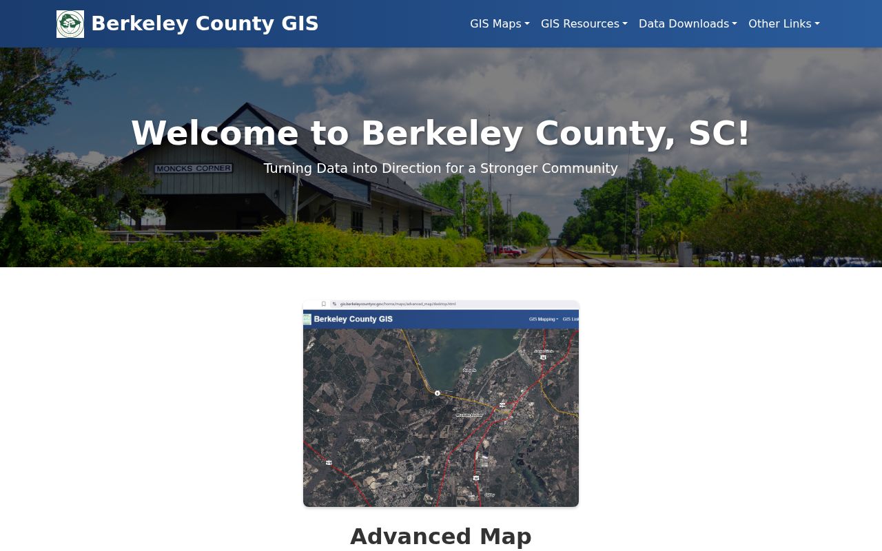
Use a GIS view to orient a Goose Creek address search, then open the parcel card for the record fields. Historic aerials can help date visible development changes, but they do not establish ownership or occupancy.
For a simpler address entry, My Property Insight accepts a street name or address and groups results under street information, districts and services, schools, courts, neighborhood insight, utilities, and related categories.
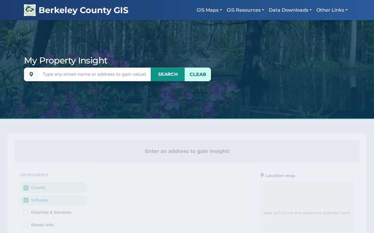
That entry screen is useful for context around a known place. It is not a street-wide list of residents or a substitute for opening individual parcel records.
Goose Creek Street Ownership Trail
Move from the parcel card to the deed index with the TMS, legal description, subdivision, lot, block, and book-page reference intact. The Register of Deeds search supports grantor and grantee names, dates, book and page or file number, document categories, and property-description fields for subdivision, lot, block, section, map, phase, unit, and description. When an old document predates a modern street pattern, those property details are more reliable than an assumed street-number match.
The Register of Deeds FAQ explains the web and counter routes for older work.
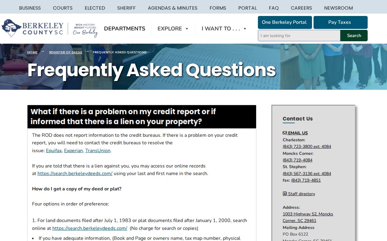
The office records deeds, plats, mortgages, liens, and other recorded real-estate documents. Its online index and images cover July 1, 1983 to the present; a correct book and page can reach deed and miscellaneous images from January 1974 and plats from 1884. Counter land records begin in 1884.
For a copy that is not available through the portal, provide the office with a book and page, owner, TMS, physical address, or property description. The research documents email, telephone, and counter channels at 1003 Highway 52 in Moncks Corner, plus a listed certified true-copy price of $10 per document.
Goose Creek Street Permit Dates
City permit material adds a date layer to a Goose Creek street search. Published monthly permit reports can show a record number, type, application or issue date, address, and sometimes a TMS or contractor business. Those are address-date facts, not statements about who lives there. The City announced in April 2025 that building permit plans and applications must be submitted electronically, so current submissions enter the permitting route while older questions may require a focused request.
Goose Creek Building Permits is the portal and report route. If a needed historic or code detail is not published, the research identifies Building Permits, Planning/GIS, and the City Clerk’s FOIA process as alternatives. A scoped request is more useful than a broad demand for a resident list.
Note: A permit’s address and date can place work at a parcel, but neither field proves ownership, occupancy, or a household relationship.
Goose Creek Street Tax Search
County tax information is another address-keyed check once a Goose Creek street result has been narrowed to a parcel. The Berkeley County tax portal accepts a free-text query for first name, last name, address, invoice number, or parcel number. It can help connect the address or TMS already found in the assessor record to tax-bill and payment context. It is not a street-wide owner list and should not be used alone to identify the current status of a parcel.
Match the tax result back to the property card’s TMS and site address before using it with a deed reference. Berkeley’s property card labels its assessment material as unofficial, and the tax tools provide context rather than a title determination. That careful comparison is especially useful where a mailing address differs from the Goose Creek situs address.
Goose Creek Street Record Coverage
Several records can be searched by address or used after an address produces a TMS. Each has a different keeper and scope. Read them together only where their fields align, and treat a gap as a gap rather than filling it with an assumption.
| Address record | Berkeley keeper | Street evidence | Access channel |
|---|---|---|---|
| Property card | Real Property Services | TMS, owner mailing and situs, parcel and sale references | Free property portal or county office |
| Parcel GIS | County GIS | Parcel lines, assessment link, aerial context | Advanced Map or My Property Insight |
| Deed and plat index | Register of Deeds | Parties, dates, book-page, description, images | Web index, email, phone, or counter |
| Permit reports | City Building Permits | Record type, dates, address, sometimes TMS | Portal and monthly reports; FOIA fallback |
| Voter records | State Election Commission | Personal registration confirmation or authorized list fields | MySCVOTES, county office, or qualified purchase route |
| Older county series | SCDAH and library | Conveyances, tax duplicates, voter books, local collections | Research room, catalog, request, or library staff |
South Carolina’s personal voter-registration check requires name, county, and date of birth as shown on the registration card. The State Election Commission’s full voter-list route is restricted to registered South Carolina voters and carries use limits. Neither path is an anonymous Goose Creek street directory tool.
For a pre-web address question, use the documented fallback chain instead of trying to turn a current portal into an archive. The SCDAH Berkeley County guide lists voter-registration books for 1883 through 1956 and tax duplicates for 1884 through 1986. The Berkeley County Library South Carolina Room adds regional census, newspaper, microfilm, oral-history, and digital-collection access. Those sources can provide historical context, but they do not create a continuous, address-level household roster.
Goose Creek Street History Gaps
No authoritative source reviewed for Goose Creek documents a citywide street renumbering or a comprehensive reverse-directory run. That absence changes the method. For an old address, rely on the legal description, plat, TMS or parent parcel, property-card notes, and the deed chain instead of guessing that a modern number existed at the time.
When the web trail ends, the South Carolina Department of Archives and History guide for Berkeley County identifies conveyance books from 1870 to 1964. The county’s older history also matters: modern Berkeley County formed in 1882 from part of Charleston County, so earlier material can be under a different jurisdiction. Library and archive channels are the documented fallback, not an invented street-directory series.
Limits of a Street Directory
The strongest address sources identify parcels, assessed owners, recorded parties, and the physical or mailing addresses that a keeper publishes. They do not identify every person living at a location. A parcel’s owner and mailing address can differ from its situs, while owner-occupied status is an assessor category rather than a count of people in a home. Restricted DMV information, protected court or voter material, utility-customer records, and address-confidentiality protections can also limit what appears.
Lawful use. Use Goose Creek address records for lawful personal research and property history. Do not use them to stalk, harass, intimidate, or harm anyone.
A name-specific question often needs a separate verification path rather than more street browsing. That distinction keeps a street directory search useful without overstating what the underlying records show.